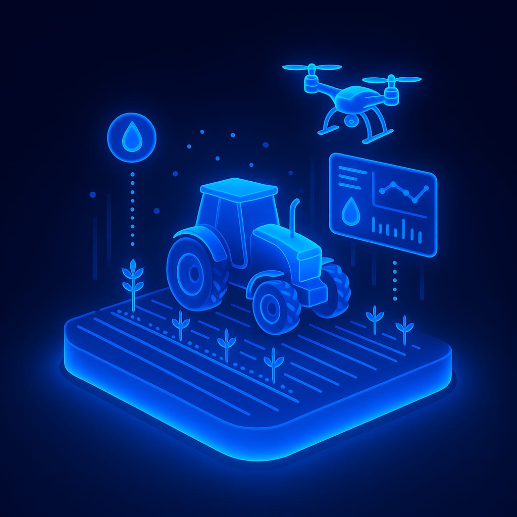
Solutions
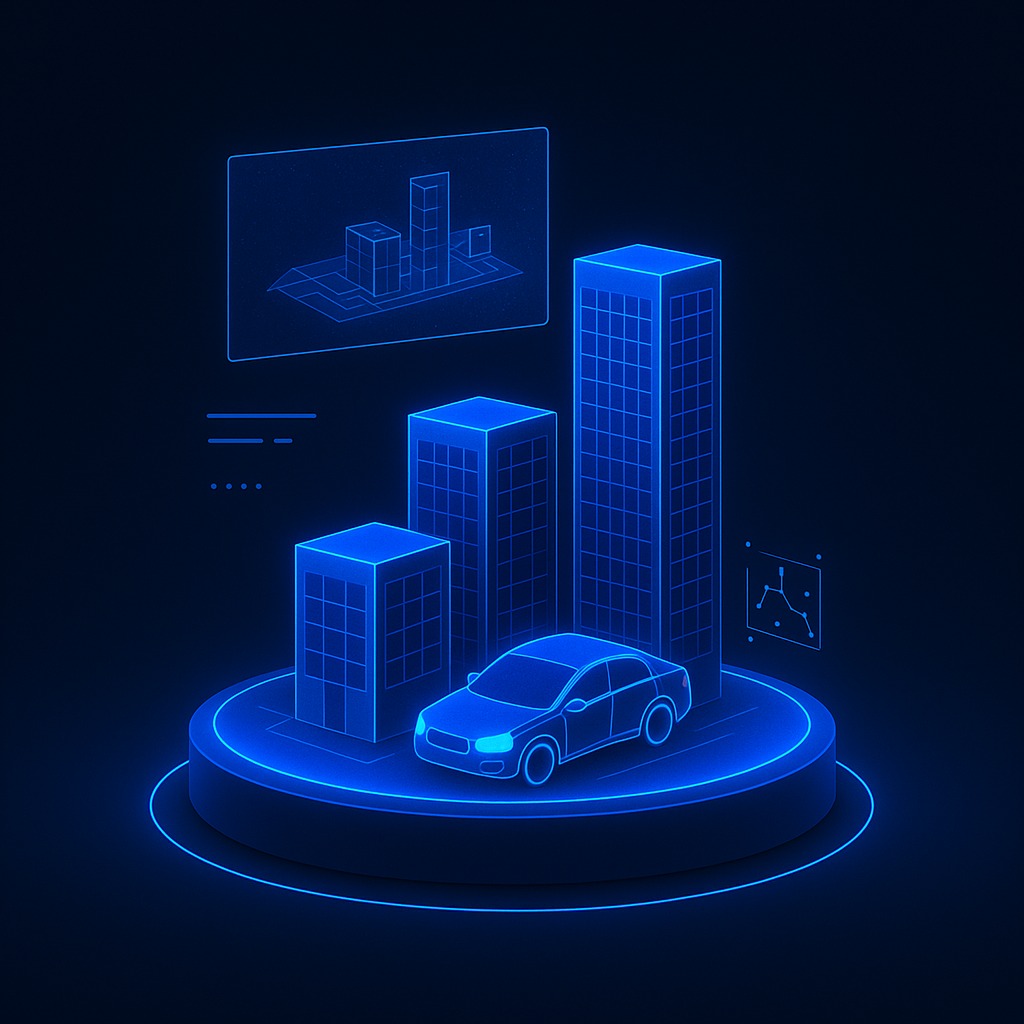
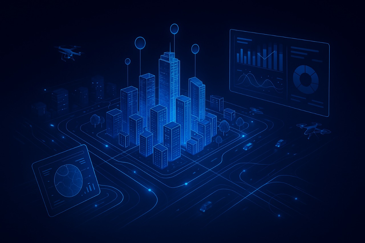
City Digital Twin
Digital Twins for the City
The digital twin of the city is a highly precise virtual replica of the real city, built using live data from maps, satellite imagery, cameras, and IoT-connected sensors.
This technology enables real-time monitoring of the city and big data analytics to support decision-making in areas such as:
- Traffic management
- Project planning
- Crisis management
- Disaster prediction before they occur
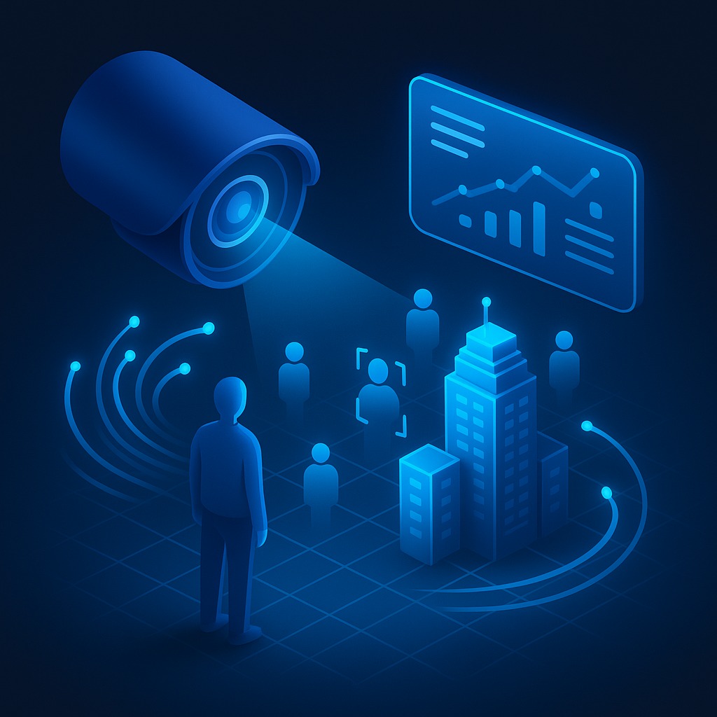
A Decision-Making Tool: Provides AI-powered simulations for managing traffic, utilities, sustainability, and emergencies.
Core Functions: Enhancing operational efficiency, improving safety, supporting environmental sustainability, and advancing tourism development.
Data Scale: Powered by more than 7,000 layers of data (satellite imagery, cameras, networks, environmental data).
AI-Enabled Solutions:
- Prediction of natural disasters.
- Urban and architectural design.
- Detection of project overlaps and conflicts.
- Accurate reporting to support strategic decisions.
Use Cases:
- Real Estate Developers: Designing efficient and sustainable projects.
- Municipalities & Authorities: Addressing urban distortion, planning communities and infrastructure.
- Meteorological Centers: Providing disaster analysis, forecasts, and simulations before events occur.
The system begins by collecting more than 7,000 layers of geographic and spatial data, such as satellite imagery, surveillance cameras, infrastructure networks, and environmental data.
This data is then displayed in a realistic and interactive 3D model, enabling the user to navigate the city as if they were inside it.
With the help of artificial intelligence:
- Predicts natural disasters before they occur.
- Designs neighborhoods and buildings (modification).
- Detects overlaps between projects to avoid rework or waste of resources.
- Provides accurate reports to decision-makers to help them improve the quality of life for residents.
It also serves contracting companies in planning the initial construction model and helps real estate developers design their projects more efficiently and at lower costs.
It supports municipalities in making accurate decisions to address visual distortion and plan the construction of modern urban communities and their needs for residential facilities such as schools, mosques, and public facilities.
The system is not just virtual models; it is an integrated planning tool that makes a real difference in the operation of modern smart cities.
Digital Twin

Integrated Solutions