Products
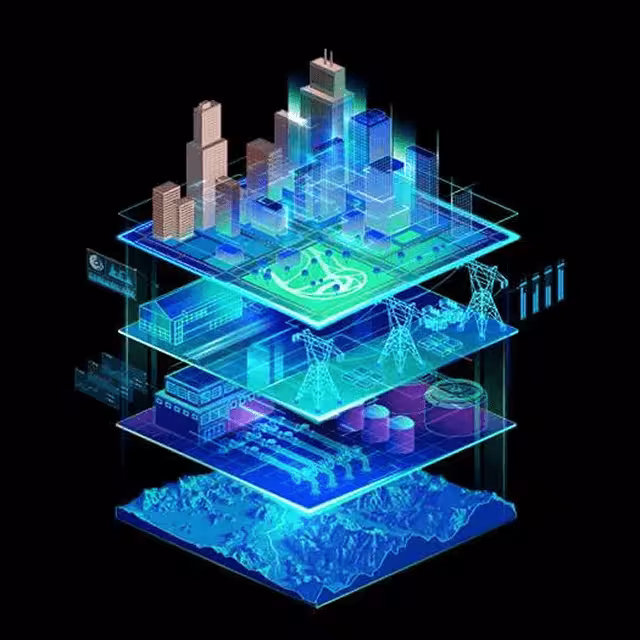
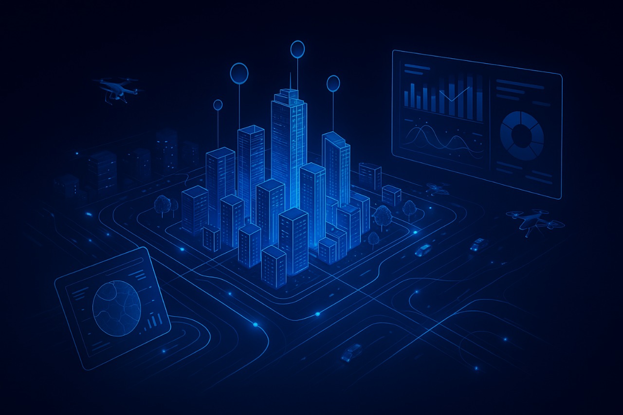
City Digital Twin
Digital Twins for the City
The digital twin of the city is a highly precise virtual replica of the real city, built using live data from maps, satellite imagery, cameras, and IoT-connected sensors.
This technology enables real-time monitoring of the city and big data analytics to support decision-making in areas such as:
- Traffic management
- Project planning
- Crisis management
- Disaster prediction before they occur
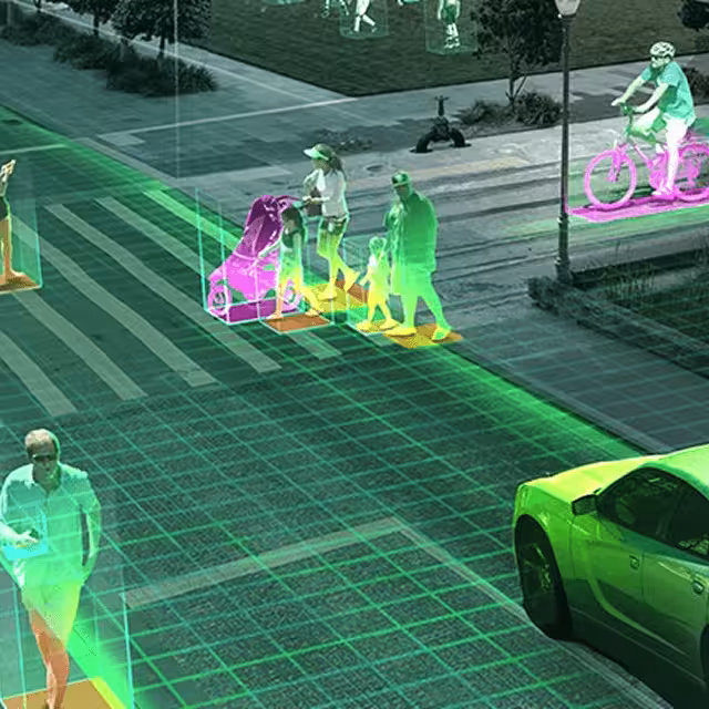
A Decision-Making Tool: Provides AI-powered simulations for managing traffic, utilities, sustainability, and emergencies.
Core Functions: Enhancing operational efficiency, improving safety, supporting environmental sustainability, and advancing tourism development.
Data Scale: Powered by more than 7,000 layers of data (satellite imagery, cameras, networks, environmental data).
AI-Enabled Solutions:
- Prediction of natural disasters.
- Urban and architectural design.
- Detection of project overlaps and conflicts.
- Accurate reporting to support strategic decisions.
Use Cases:
- Real Estate Developers: Designing efficient and sustainable projects.
- Municipalities & Authorities: Addressing urban distortion, planning communities and infrastructure.
- Meteorological Centers: Providing disaster analysis, forecasts, and simulations before events occur.
Digital Twin
Integrated Products